
Why Route 340 Follows the River
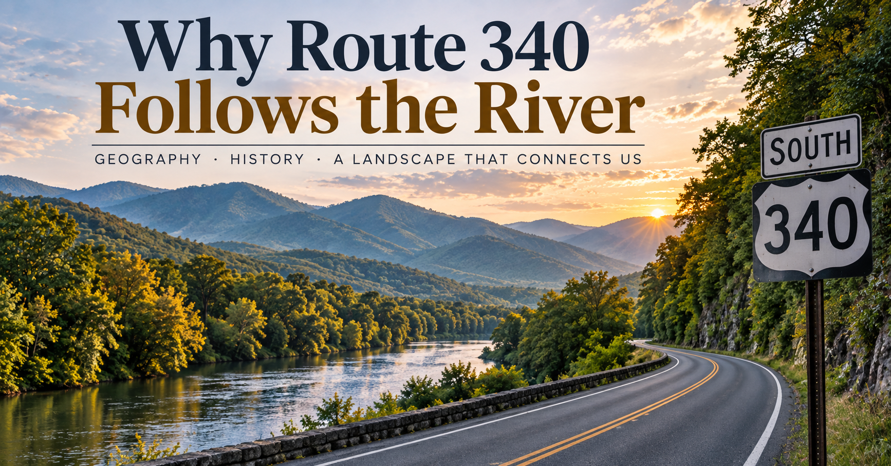
If you've spent much time driving Route 340 through the Shenandoah Valley, you've probably noticed something.
The road seems to have a relationship with water.
Around Front Royal, Route 340 encounters the Shenandoah River and follows the natural geography of the valley. Head south toward Luray and beyond, and the highway continues through a landscape shaped by rivers, mountains and gaps.
At first glance, that might seem like coincidence.
It isn't.
The reason Route 340 follows the river in so many places has less to do with modern highway design than with something that happened millions of years before the first road was ever built.
The river helped create the route.
Mountains Make Travel Difficult
To understand Route 340, start with the landscape.
The Shenandoah Valley sits between major mountain systems, with the Blue Ridge Mountains defining its eastern side and the ridges of the Ridge-and-Valley Appalachians stretching to the west.
Today, we barely think about driving through this terrain.
Our roads climb mountains, cross rivers and cut through rock.
But imagine trying to move through this region hundreds—or thousands—of years ago.
Mountains weren't scenery.
They were obstacles.
Steep slopes, cliffs, dense forests and rugged terrain made travel difficult.
The easiest routes through landscapes like these were often determined by water.
Rivers Find the Easy Way Through
Water follows gravity.
Over enormous spans of geological time, rivers exploit weaknesses in rock, erode valleys and carve passages through the landscape.
That creates something incredibly useful for anyone trying to travel through mountainous country:
relatively low, continuous corridors.
Instead of climbing over every ridge, people could move through valleys and alongside waterways.
Long before automobiles existed, those natural corridors influenced where people traveled.
And eventually, where roads were built.
The Shenandoah Was Here First
The Shenandoah River is far older than Route 340.
Its two major branches—the North Fork and South Fork—flow through the Shenandoah Valley before meeting at Front Royal to form the main stem of the Shenandoah River.
From there, the Shenandoah travels northeast toward Harpers Ferry, where it joins the Potomac River.
Look at that geography from above and something becomes obvious.
The river system forms a natural pathway through the region.
Modern roads didn't create that pathway.
They inherited it.
Before Route 340, People Were Already Following the Landscape
Modern highways often sit within transportation corridors that are much older than the pavement covering them.
Indigenous peoples traveled through the Shenandoah Valley long before European settlement.
Later, settlers, farmers and merchants used routes influenced by valleys, river crossings, gaps and existing paths.
As communities developed, roads connected farms with mills, towns and markets.
Transportation routes evolved.
Footpaths became wagon roads.
Wagon roads were improved.
Bridges replaced some ferries and fords.
Eventually automobiles arrived.
Then state and federal highway systems connected and improved portions of those existing transportation corridors.
The technology changed.
The geography didn't.
Why Not Just Build a Straight Road?
Pull up a map and you might wonder why older highways bend and curve so much.
Why not simply draw a straight line between two towns?
Because straight lines on maps don't account for mountains.
Imagine two points separated by a steep ridge.
The shortest route might go directly over it.
But building and traveling that road could require steep grades, enormous cuts through rock and substantial engineering.
A slightly longer route through a valley may be dramatically easier.
That's especially important when considering roads whose origins predate modern construction equipment.
Following natural terrain was often simply the practical choice.
Rivers Also Created Places to Build Communities
There's another reason highways and rivers often seem to encounter the same towns.
People need water.
Historically, rivers and streams provided drinking water, transportation opportunities, fertile land, power for mills and places where commerce could develop.
Settlements naturally formed around these resources.
Then roads connected those settlements.
So the relationship often looked something like this:
Water shaped the landscape.
People settled near the water.
Travel routes connected those settlements.
Modern highways inherited many of those corridors.
By the time Route 340 existed as a numbered highway, much of the basic human geography of the region had already been established.
Front Royal Is a Perfect Example
Front Royal's geography makes the relationship particularly easy to see.
This is where the North Fork and South Fork of the Shenandoah River come together.
It's also a gateway to the Blue Ridge Mountains and the northern entrance to Skyline Drive and Shenandoah National Park.
That combination of rivers, valleys and mountains has influenced the community's development for generations.
Front Royal didn't randomly appear on a modern highway.
The highway serves Front Royal partly because the geography made this an important place long before Route 340 had a number.
That's an important distinction.
We sometimes assume towns exist because roads brought people to them.
In many older communities, the opposite is closer to the truth.
Roads came through because people were already there.
The Road Tells You Something About the Land
One of my favorite things about learning the geography of a place is that ordinary things begin to look different.
A curve in a highway isn't necessarily arbitrary.
A town isn't necessarily located where it is by accident.
A mountain gap may explain a transportation corridor.
A river crossing may explain why a community developed.
A road running beside a river may preserve decisions made generations before anyone imagined automobiles.
Once you start noticing those relationships, driving becomes a little different.
You're no longer simply traveling through the landscape.
You're reading it.
Route 340 Is Part of a Much Older Story
We tend to think of roads as things humans impose on the landscape.
Sometimes that's true.
Modern engineering allows us to tunnel through mountains, build enormous bridges and move staggering amounts of earth.
But many older transportation corridors tell a different story.
They show humans adapting to the landscape.
Route 340's relationship with the Shenandoah Valley and its waterways is part of that story.
The river came first.
It helped shape the valley.
The valley influenced where people traveled.
Those travel routes helped connect communities.
And eventually, portions of that transportation network became the roads we drive today.
So the next time you're traveling Route 340 and notice the river appearing beside you, disappearing behind trees and returning again farther down the road, consider this:
You're both following the same thing.
The easiest path through the mountains.
The difference is that the river found it millions of years before we did.
More from Scott Turnmeyer
I write about photography, business, mindset, bowling, and the bigger questions that don’t always have easy answers. You can explore more articles, photography, and projects here:
Blog Home
About Scott Turnmeyer
Fine Art Photography
Photography Workshops & Experiences
Digital Consulting